
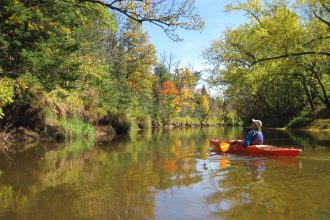
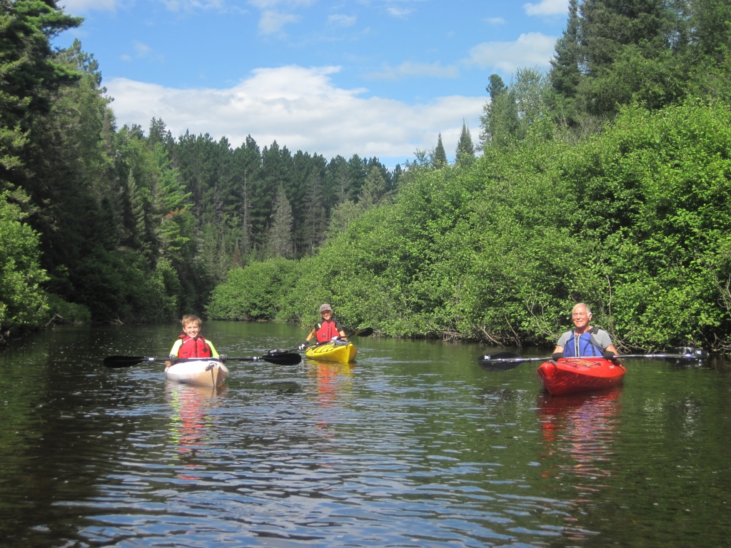
Water Trails of Michigan
Water trails are marked routes on navigable waterways such as rivers, lakes, canals and coastlines for people using small non-motorized boats such as kayaks, canoes, rafts, or rowboats.
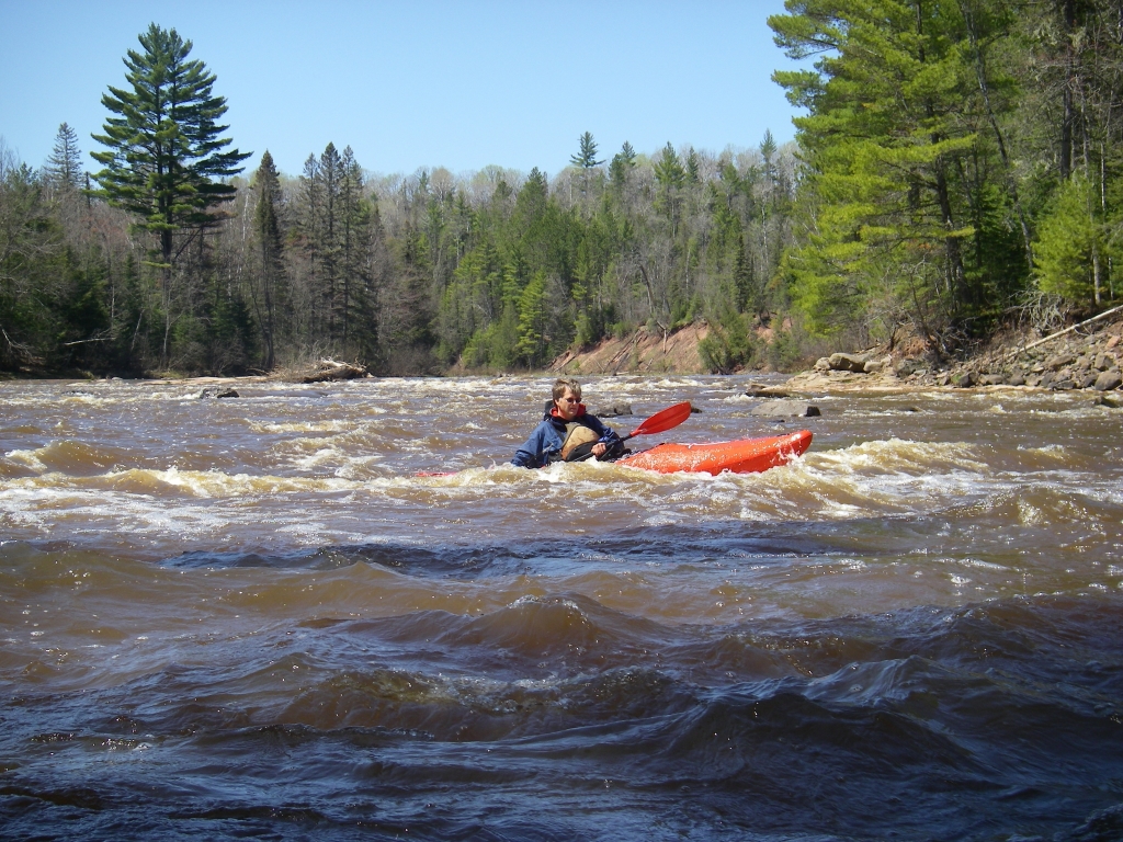
DNR urges ‘safety first’ approach to time on the water.
Non-Motorized Boating safety tips
- Wear a U.S. Coast Guard-approved life jacket, especially when kayaking, canoeing and stand-up paddle boarding.
- If boating (or fishing) alone, wear a life jacket, tell someone on shore where you’re going and when you plan to return and schedule a check-in time.
MI-TRALE offers a Multi-Use Trails Map with 15 mapped Water Trails located in Ontonagon County in the Upper Peninsula of Michigan. Look for “Michigan UP Trails” in Google Play or the Apple APP Store Details on how to purchase a Map can be found here Maps
Below is a sample of what you will find on the maps. You will see on the map page the river section is highlighted in light blue. Portage areas are well marked too.
Paddle Route–Lake Gogebic to Norwich Bluff
17 miles. Class II+. If you put in at the old bridge just below the dam on Lake Gogebic, the first half-mile down to the State Highway M-28 Bridge (optional put-in) has very fast water with almost no eddies. One drop is often an easy Class III, depending on water levels. Otherwise, there are numerous Class II rapids throughout the first 11 or 12 miles to Cascade Creek, followed by 5 miles of flat water to the bridge on Norwich Road at the Norwich Bluffs. The terrain throughout is quite wild, with a couple nice views of rock bluffs. Other than a hunting camp or two, you will see no signs of civilization between bridges. Check the USGS Flow Gauge online for the dam at Lake Gogebic. 200-600 cfs is best. 600 is exciting, with all the rocks covered. 200 is quite boney. This run is usually doable for several weeks in the spring, sometimes in the summer after big rains and often in the fall after the seasonal rains come.

Water Trail shown in bottom right corner of map (highlighted blue line)
Water Trails Launch and Take-out Locations
West Branch Ontonagon River
#3 Lake Gogebic to Norwich Bluff – GPS – Launch 46.585891, -89.536231 Takeout 46.536231, -89.385667
17 miles. Class II+. Put in at the old bridge just below the dam on Lake Gogebic, Take out at the bridge on Norwich Road at the Norwich Bluffs.
#4 Norwich Bluff to Victoria Dam – GPS – Launch 46.653006, -89.385667 Takeout 46.687840, -89.230308
14 miles. Class II – III. Put in at the bridge on Norwich Road at the Norwich Bluffs. Take-out at Victoria Dam.
South Branch Ontonagon River
#6 Choate Rd to Ewen – GPS – Launch 46.418685, -89.240672 Takeout 46.534584, -89.276509
18 miles. Class II, though not much. Put in on Choate Road at Bluff Creek underpass. Take-out at the State Highway M-28 Bridge in Ewen
#5 Ewen to Victoria Dam – GPS – Launch 46.534584, -89.276509 Takeout 46.687849, -89.230308
27 miles. Class II – III. Put in at the Highway M-28 Bridge in Ewen. Take-out at Victoria Dam
Middle Branch Ontonagon River
#15 Watersmeet to Burned Dam – GPS – Launch 46.274736, -89.176421 Takeout 46.312564, -89.053820
10 miles. Class I (II). The put-in at the Bridge on US-45 in Watersmeet. Take out just upstream of Mex-i-min-e Falls, on the right.
#14 Burned Dam to Interior Bridge – GPS – Launch 46.315569, -89.054473 Takeout 46.356519, -89.076672
6.5 miles. Class II. Put in at Burned Dam Campground. Take-out is on the right on the upstream side of Interior Bridge on Forest Road 5250
#13 Interior Bridge to Bond Dam – GPS – Launch 46.356519, -89.076672 Takeout 46.394806, -89.130653
5.5 miles. Class II+. Put in at Interior Bridge on Forest Road 5250. Take out 2 miles across Bond Lake to a boat ramp at the dam near the canal.
#10 Agate Falls to Military Hill roadside park – GPS – Launch 46.481320, -89.090008 Takeout 46.699232, -89.158461
29 miles. Class II – III. Much of this run is a designated Wild and Scenic River. The put-in is difficult, as you must negotiate a steep slope to get to the bottom of Agate Falls. Take out is 2-track road on the south side of the US Highway 45 Bridge that takes you to the confluence of the Middle and East Branches, which makes for an easy take-out.
Main Branch Ontonagon River
#9Military Hill Bridge to Victoria Rd Bridge – GPS – Launch 699232, -89.158461 Takeout 46.720692 Takeout 46.720692. -89.206750
Put in is easiest at the confluence with the Middle Branch on river left, off a short two-track road on the south side of the Military Bridge on Highway US-45. Take out at the bridge on Victoria Road.
#8 Victoria Road Bridge to Ontonagon Marina. – GPS – Launch 46.720692, -89.206750 Takeout 46.869484, -89.321879
20 miles. Class II. Put in at the bridge on the Victoria Road. Take out at the Ontonagon Marina on river left, just downstream from the highway and railroad bridges.
East Branch Ontonagon River
#12 Gardner Rd to End of East Branch Rd. – GPS – Launch 46.658496, -89.046987 Takeout 46.687908, -89.012360
5.5 miles. Class I+. Put in at the bridge on Gardner Road. Take-out at the end of East Branch Road
#11 End of East Branch Rd to Military Hill Roadside Park – GPS – Launch 46.687908, -89.072360 Takeout 46.699232, -89.158461
8.5 miles. Class II-III. Put in at the bottom of the hill at the end of the East Branch Road. Take-out is easiest at the confluence with the Middle Branch on river left, off a short two-track road on the south side of the Military Bridge on Highway US-45.
Cisco Branch Ontonagon River
#7 Old Gravel pit to FR 6930 bridge – GPS – Launch 46.370944, -89413395 Takeout 46.409415, -89.343563
6 miles. Class II – III. Put in at an old gravel pit off gravel Forest Road 527 that runs roughly parallel to the Cisco Branch. Take out at the bridge on the Matchwood Tower Road/FR6930
Big Iron River
#2 FR 360 to Bonanza Falls – GPS – Launch 46.678322, -89.651299 Takeout 46.817613, -89.570169
17 miles. Class II+. To find the put-in, drive on State Highway M-64 for 5.5 miles south from L. P. Walsh Road. Take out above Bonanza Falls, just off State Highway M-64, south of Silver City
Firesteel River
#16 Wilderness Dr. to Lakeshore Dr. – GPS – Launch 46.872803, -89.104890 Takeout 46.933210, -89.194890
13.5 miles. Class II. Put in at the bridge on Wilderness Drive. Take out at the Lakeshore Drive Bridge, just upstream from Lake Superior.
Presque Isle River
#1 Copps Mine Rd to Hwy M28 – GPS – Launch 46.694177, -89.694177 Takeout 46.546602, -89.777793
14 miles. Class I. Put in at the old bridge over the Presque Isle River on the old Copps Mine Road. Take-out at Highway M-28
Sturgeon River
#19 Prickett Dan to M38 Bridge – GPS – Launch 46.725088, -88.669198 Takeout 46.782547, -89.618099
10 miles. Class II. Put in just below Prickett Dam off Prickett Dam Road. Take out on the upstream side of the M-38 Bridge, which has adequate parking.
#18 Hwy M38 to Froberg Rd – GPS – Launch 46.782547, -88.618099 Takeout 46.837060, -88.590748
7.5 miles. Class I. Put in at the bridge on Highway M-38. take-out site is just upstream from the Froberg Rd Bridge on the roadside corner of a small farm field.
#17 Froberg Rd to Chassell boat landing – GPS – Launch 46.837060, -88.590948 Takeout 46.029316, -88.508057
26 miles. Class I. Put in just upstream from the bridge at Froberg Road in the roadside corner of a small farm field. Take-out is at Mile 22 where the Sturgeon River Road out of Chassell crosses the river.